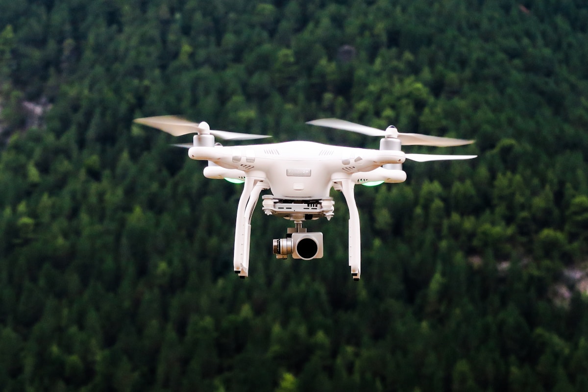
Unmanned Aerial Systems (UAS) Assessments: An Overview
Unmanned Aerial Systems (UAS), commonly known as drones, have revolutionized numerous sectors. Their versatility extends from aerial photography to complex data collection in agriculture, infrastructure, and environmental conservation. However, these innovative tools require thorough assessments to ensure they are utilized effectively and safely.

Understanding UAS Technology
At the heart of UAS technology is the integration of sophisticated components. Key elements include the airframe, propulsion system, navigation, and control systems. A UAS operates through pre-programmed instructions or real-time human guidance. Understanding these components is essential during assessments as they determine operational capabilities and limitations.
Control systems rely heavily on GPS and inertial measurement units (IMUs) to maintain stability and determine position. Together, these technologies enable precision in flight paths and operational accuracy. Drones are often equipped with advanced sensors, like LiDAR, thermal cameras, and multispectral sensors. These enhance their data collection ability, making them indispensable in various fields.
Key Aspects of UAS Assessments
Assessing UAS involves several factors, from regulatory compliance to operational efficiency. Regulatory compliance ensures the safe and legal use of drones. In most countries, drone operations are governed by strict laws. These regulations often dictate drone registration, pilot certification, and flight restrictions. Compliance assessment thus entails verifying adherence to these regulations.
Operational efficiency is another critical area. This refers to how effectively a UAS accomplishes its intended tasks. Efficiency assessments examine the system’s performance under different conditions. These may include varying weather conditions, terrain types, and mission duration. Identifying limitations in these areas helps improve strategies and equipment.
Safety Protocols and Risk Assessment
Safety is paramount in UAS operations. Risk assessments identify potential hazards and implement measures to mitigate them. This process begins with an evaluation of the UAS design. Systems are examined for redundancy, fail-safes, and reliability. Operators are trained in emergency procedures and unforeseen circumstances are simulated to test preparedness.
Another component is on-site risk analysis. This involves assessing the environmental and geographical risks associated with a particular operational area. Issues such as wildlife interference, proximity to infrastructure, and population density are crucial considerations. Comprehensive risk assessments ensure UAS operations minimize harm to both the aircraft and its surroundings.
Applications and Use Cases
UAS technology is applied in myriad fields. In agriculture, drones monitor crop health, manage irrigation, and optimize pesticide use. They provide detailed aerial imagery and data, enabling precise farming practices. This data can identify pest infestations or nutrient deficiencies, allowing for targeted interventions.
In infrastructure, UAS inspections streamline maintenance processes for roads, bridges, and power lines. They offer cost-effective and safe alternatives to traditional methods. Drones can access difficult-to-reach areas and capture high-resolution images and videos. These insights help in detecting faults or wear and tear, enabling timely repairs.
Environmental conservation also benefits from UAS applications. Scientists and conservationists use drones to track wildlife, map ecosystems, and monitor deforestation. Drones provide a less invasive means of observation, reducing the risk of disturbing natural habitats. They provide valuable real-time data for planning and decision-making.
Data Collection and Analysis
Data collection is a crucial function of UAS. Drones equipped with various sensors collect vast amounts of information. This data often includes images, videos, thermal readings, and topographical maps. Advances in machine learning and data processing have enhanced the analysis of this data.
One application is the use of AI algorithms to analyze drone-captured imagery. In agriculture, these algorithms can detect patterns of disease or insufficient irrigation. Similarly, in infrastructure, AI can identify structural anomalies. The ability to process this data efficiently allows for predictive maintenance and prompt interventions.
Challenges and Future Prospects
Despite their advantages, UAS technologies face challenges. Concerns over privacy, particularly in densely populated areas, necessitate careful management of flight paths and data usage. Regulatory frameworks must evolve alongside technology to address these issues adequately.
Another challenge is maintaining connectivity and control over long distances. Advances in communication technologies, like 5G, promise to enhance control methods and data transmission rates. This development could enable more ambitious applications, like autonomous delivery drones or expansive data-gathering operations in remote areas.
As technology evolves, so do the potential applications for UAS. Future innovations could include even more specialized sensors, longer battery life, and increased automation. These advances could cement drones as essential tools across a variety of new and existing sectors.
Conclusion
The assessment of UAS technology is vital for its safe and effective use. Through comprehensive evaluations of system components, adherence to legal frameworks, and robust risk management strategies, stakeholders can harness the full potential of unmanned aerial systems. Their growing applications hint at a promising future where they continue to transform industries and tasks across the globe.
Recommended Aviation Gear
David Clark H10-13.4 Aviation Headset – $376.95
The industry standard for aviation headsets.
Pilots Handbook of Aeronautical Knowledge – $25.42
Essential FAA handbook for every pilot.
As an Amazon Associate, we earn from qualifying purchases.


Subscribe for Updates
Get the latest articles delivered to your inbox.
We respect your privacy. Unsubscribe anytime.