Affordable LiDAR Mapping Services
Lidar Services: Mapping the World in High Resolution. Lidar, using pulsed lasers, provides precise 3D Earth data by measuring variable distances. Learn how Lidar works.

Lidar Services: Mapping the World in High Resolution. Lidar, using pulsed lasers, provides precise 3D Earth data by measuring variable distances. Learn how Lidar works.
Discover the latest advancements in drones with night vision technology, enabling them to operate and capture images in low-light conditions using specialized cameras and sensors.

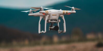
Lidar, or Light Detection and Ranging, uses laser light for precise distance measurement and Earth surface mapping, with diverse applications due to its high accuracy.

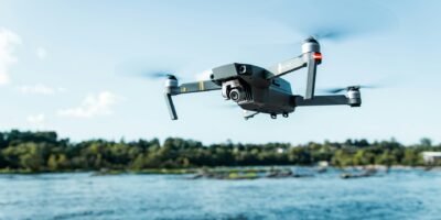
Drones revolutionize industries by efficiently measuring volume with advanced sensors. Discover the technology behind it and its practical applications across various fields.

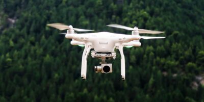
LiDAR technology is revolutionizing agriculture by creating precise 3D maps through emitted laser beams. Farmers use it to optimize crop management and analyze topography.

The DJI Mavic Air 2 is a versatile, lightweight drone perfect for aerial photography enthusiasts. Its innovative design, foldable structure, and advanced features make it a significant upgrade.
The DJI Mavic 3 drone offers a cutting-edge experience with superior camera quality, advanced flight features, and enhanced safety measures. Ideal for buyers and enthusiasts.

Discover the DJI Air 2S, a top-rated drone featuring advanced camera capabilities with a 1-inch CMOS sensor, 20 MP photos, and 5.4K video. Ideal for both hobbyists and professionals.
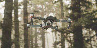
Discover the best drone for land surveying with our comprehensive guide. Learn how drones like the Matrice 300 RTK revolutionize land surveys by offering precise data collection with excellent camera quality and flight time.
Discover the DJI Matrice 30T, a top commercial drone combining advanced tech and practical design. Learn about its price and factors influencing its cost.