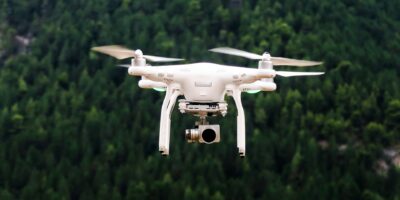
How Drones Are Used in Golf Course Management
Discover how drone technology is revolutionizing golf courses with improved course management, maintenance, and player experiences. Explore the future of the sport with drones.
Discover how drone technology is revolutionizing golf courses with improved course management, maintenance, and player experiences. Explore the future of the sport with drones.

Discover how LiDAR technology, originally for topographic mapping, is now revolutionizing agriculture by using laser pulses to enhance farming practices and productivity.

Drone Inspection Services Near Me offer safer, faster, and cost-effective solutions for infrastructure, agriculture, construction, and energy sectors, making them indispensable.
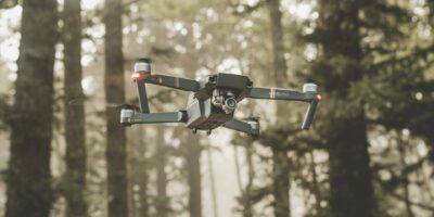
Industrial drone services are revolutionizing sectors like construction and agriculture by enhancing efficiency and precision through diverse applications. Discover their benefits.

Large drones now resemble traditional aircraft in shape and size, evolving beyond small quadcopters. These advanced drones are employed in various fields due to their capabilities.

Drone service providers use UAVs for diverse industries like agriculture and filming, offering crucial services such as data collection and inspections with advanced tech.

Drone technology is transforming cell tower inspections, eliminating the need for risky climbs. Drones offer a safer, quicker, and more efficient alternative for inspection teams.

Lidar uses lasers, while sonar uses sound for measuring distances and mapping. Both technologies have unique advantages; understanding their differences aids in task selection.

Lidar Data Processing involves using laser light to measure distances and create detailed 3D images, aiding fields like archaeology, geography, forestry, and autonomous vehicles.

Lidar and Radar are essential for object detection and distance measuring, differing in operation and application. Lidar uses pulsed lasers, offering precise measurements.
Subscribe for Updates
Get the latest articles delivered to your inbox.
We respect your privacy. Unsubscribe anytime.