Flyguys Drone Services Review
Flyguys offers an in-depth guide on drones, tracing their evolution from military origins to multifaceted civilian uses like aerial photography and delivery services.
Flyguys offers an in-depth guide on drones, tracing their evolution from military origins to multifaceted civilian uses like aerial photography and delivery services.

Discover the benefits of hiring a local drone pilot for your business. With growing demand across industries like real estate and agriculture, professional pilots offer advanced technology solutions.

Drone Remote ID technology identifies and tracks drones in national airspace, acting as a digital license plate. FAA regulations ensure safety and accountability by broadcasting essential drone info.
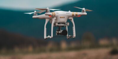
Discover the top drone services near you, perfect for aerial photography, agriculture, and inspections. Drones offer unique perspectives and efficient solutions for various industries.

Explore the DJI Matrice 300 RTK, a cutting-edge drone designed for public safety, inspection, and mapping. Enjoy enhanced flight performance with a maximum flight time of 55 minutes.
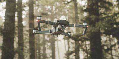
Drone surveying companies leverage advanced UAV technology to capture precise aerial data and high-quality images, transforming industries with diverse applications.

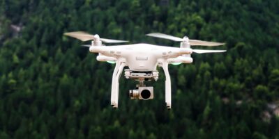
Drone photography revolutionizes image capture with high-resolution cameras on stable flying platforms, offering unique angles and creative possibilities for all photographers.

Drone propellers are crucial for performance, available in fixed-pitch (simpler, cheaper) and variable-pitch (adjustable blade angle) varieties, with diverse shapes, sizes, and materials.

Discover the key differences between Lidar and Radar, exploring their principles, advantages, and applications in technology for enhanced environmental sensing and understanding.

Explore the rise of drone services in Atlanta, transforming industries with innovative solutions like aerial photography and videography. Discover how UAVs are used city-wide.
Subscribe for Updates
Get the latest articles delivered to your inbox.
We respect your privacy. Unsubscribe anytime.