How Drones Are Powering a Greener Future
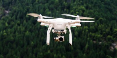
Drones are revolutionizing the energy sector by enhancing efficiency, safety, and data accuracy. From oil and gas to renewables, UAVs play a crucial role in inspection and maintenance.

Drones are revolutionizing the energy sector by enhancing efficiency, safety, and data accuracy. From oil and gas to renewables, UAVs play a crucial role in inspection and maintenance.
Explore the diverse applications of Lidar technology, a remote sensing method using pulsed laser light to generate precise 3D data for geospatial, environmental, and other uses.

Point cloud images use 3D coordinates to represent spatial data, crucial for industries like construction, surveying, and autonomous vehicles. Learn their basics and transformative impact.

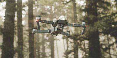
Drones are revolutionizing the insurance industry by enhancing risk assessment, claims processing, and fraud detection through high-resolution imaging and access to hard-to-reach areas.
The DJI M30T is a cutting-edge drone designed for professionals, featuring advanced technology and robust capabilities. Discover its unique attributes and diverse industry applications.

Discover the evolution of large drones, transitioning from basic quadcopters to advanced machines that resemble small planes. Learn about their enhanced capabilities and design.
Stay informed about drone safety with essential tips for hobbyists, photographers, and businesses. Learn about drone regulations to ensure your drone use is secure and compliant.

Learn how to choose the right drone for you. Whether for aerial photography, racing, or hobby flying, understanding your purpose is key to finding the perfect drone.

Drone construction monitoring enhances efficiency, safety, and cost-effectiveness in construction projects with UAVs, revolutionizing surveying and mapping of job sites.

The Invention and Evolution of LiDAR explores how this light-based remote sensing technology, crucial for mapping and environmental monitoring, originated in the 1960s.
Subscribe for Updates
Get the latest articles delivered to your inbox.
We respect your privacy. Unsubscribe anytime.