Aerial Imaging Market
Aerial Imaging Market
Technology has significantly advanced the aerial imaging market. UAVs, satellites, and drones now provide detailed images from above. These images serve various sectors such as agriculture, urban planning, and disaster management.

Technological Advancements
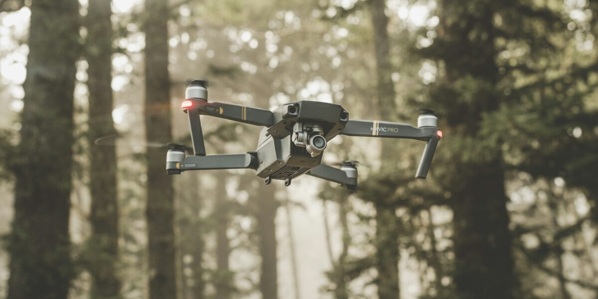
One key development is in drone technology. Drones equipped with high-resolution cameras can capture precise images. This technology offers flexible deployment and real-time data.
Satellites also play a crucial role. They provide wide-area coverage. Deep learning and AI are being integrated into aerial imaging systems. These technologies enhance image processing and analysis, offering greater insights.
Applications in Agriculture
Aerial imaging is revolutionizing agriculture. Farmers use it to monitor crop health. It helps in detecting pests, diseases, and nutrient deficiencies. Efficient water management is another benefit. Soil moisture levels can be assessed without manual intervention.
Furthermore, it aids in precision farming. It provides data for better crop and field management. This results in higher yields and optimized resource use.
Role in Urban Planning
Urban planners utilize aerial imaging for infrastructure development. It helps in mapping areas and understanding spatial relationships. This data is essential for sustainable city planning. It supports road network analysis, public transportation planning, and green space allocation.
Disaster management benefits significantly. Post-disaster assessment becomes faster. Aerial images provide detailed views of affected areas, aiding in rapid response and resource allocation.
Monitoring Environmental Changes
Aerial imaging helps monitor environmental changes. It tracks deforestation, ice melt, and coastal erosion. Governments and NGOs use this data for conservation efforts.
Challenges and Opportunities
Privacy and regulatory concerns persist. Governments are creating guidelines for drone usage. There are also technological challenges. High-resolution imagery requires substantial storage and processing power.
Training for operators is another area. Skilled professionals are necessary for accurate data interpretation. Despite these challenges, opportunities abound. The market is expanding, driven by increasing demand and technological advancements.
Market Growth
The aerial imaging market is growing. Market research reports project significant growth. Factors such as lower costs of UAVs and advances in imaging technology contribute. There is a rise in commercial applications across industries.
Key Players
Several key players dominate the market. Companies like DJI, PrecisionHawk, and AeroVironment lead in drone technology. Others, like Nearmap, excel in providing high-quality aerial imagery. Many of these companies are expanding their offerings, venturing into data analysis services.
Future Trends
Looking ahead, integration with other technologies will shape future trends. AI and machine learning will play bigger roles in data analysis. Automated image processing will become common, enabling faster decision-making.
Emerging sectors like blockchain may also find relevance. Secure data management and transparent sharing are key aspects. The market will see a rise in on-demand imaging services, catering to specific needs within shorter timeframes.


