Aerial Imaging Market
Aerial Imaging Market
The aerial imaging market has been growing steadily in recent years. This growth is driven by advancements in technology and the increasing demand across various sectors. Drones, satellites, and manned aircraft are the primary platforms for capturing these images.

Technological Advancements
Recent years have seen significant developments in cameras and sensor technology. High-resolution imaging, thermal imaging, and LiDAR sensors are now commonly used. These advancements have increased the versatility and quality of aerial images.
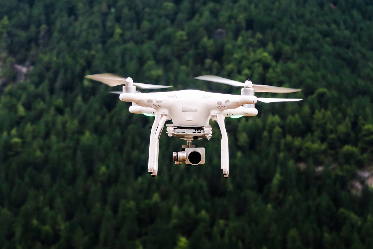
Drones have become more accessible, with lower costs and improved capabilities. They can capture high-resolution images and videos from various altitudes and angles. Automated flight planning software allows for precise and repeatable imaging missions.
Key Applications
Agriculture
Agriculture is one of the prominent sectors using aerial imaging. Farmers use drones and satellites to monitor crop health and manage fields more efficiently. Multispectral and hyperspectral imaging helps in identifying issues related to irrigation, pests, and diseases at an early stage.
Construction and Real Estate
The construction and real estate sectors also benefit significantly. Drones provide a cost-effective way to capture detailed site surveys. 3D models of construction sites are created for better planning and progress tracking. Real estate agents use aerial imagery to showcase properties and their surroundings.
Environmental Monitoring
Aerial imaging plays a vital role in environmental monitoring. It helps in tracking deforestation, monitoring wildlife, and assessing the impact of natural disasters. High-resolution images provide essential data for conservation efforts and disaster response planning.
Geospatial Mapping
Drones and satellites are indispensable tools for geospatial mapping. They provide accurate and up-to-date data for creating maps and models. This data is crucial for urban planning, infrastructure development, and navigation systems.
Insurance
Insurance companies use aerial imaging for claims assessment and risk management. Post-disaster aerial images help in evaluating the extent of damage and processing claims efficiently. Regular aerial surveys assist in risk assessment and underwriting processes.
Market Dynamics
Several factors influence the aerial imaging market’s growth. Technological advancements have reduced costs and increased accessibility. The regulatory environment has also evolved to accommodate the growing use of drones and other platforms.
There is a rising demand for high-resolution imagery and data analytics. Industries across various sectors recognize the value of aerial imaging for improving efficiency and decision-making. This demand drives innovation and growth in the market.
Challenges
Despite the advancements, the aerial imaging market faces several challenges. Regulatory hurdles and privacy concerns are significant issues. Different countries have varying regulations regarding drone usage and aerial imaging, complicating global operations.
Weather conditions can also affect the quality of aerial images. Cloud cover, rain, and extreme weather can limit the effectiveness of aerial imaging missions. The high cost of advanced imaging equipment remains a barrier for some smaller companies.
Future Trends
The future of the aerial imaging market looks promising. Integration with artificial intelligence and machine learning will enhance data analysis and image processing capabilities. Automation and robotics will further streamline imaging missions and reduce operational costs.
Urbanization and infrastructure development will continue to drive demand for aerial imaging. Emerging applications such as precision agriculture, autonomous vehicles, and smart cities will create new opportunities. The use of commercial satellites for high-resolution earth observation is likely to increase.
Key Players
- DJI
- Parrot
- 3D Robotics
- AeroVironment
- Hexagon
- Trimble
- SenseFly
- EagleView Technologies
These companies are at the forefront of innovation in the aerial imaging market. They offer a range of products and services, including drones, imaging sensors, software, and data analytics solutions.
Investment Opportunities
The aerial imaging market presents several investment opportunities. Companies developing advanced imaging sensors and software are attractive targets. There is also potential in startups focusing on niche applications like precision agriculture or environmental monitoring.
Partnerships and collaborations with established players can provide a strong market presence. Investing in research and development will drive innovation and competitiveness. Public sector projects and grants offer additional avenues for funding.
Conclusion
The aerial imaging market is a dynamic and evolving industry. It offers significant opportunities for growth and innovation across various sectors. Technological advancements and increasing demand are driving this market forward. Despite challenges, the future looks bright for stakeholders in this space.


