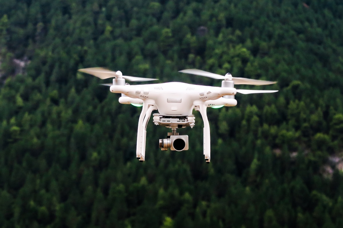
DJI Matrice 300 RTK
DJI Matrice 300 RTK: The Features and Innovations
The DJI Matrice 300 RTK is a significant advancement in drone technology. It caters to various industries including public safety, inspection, and mapping. Let’s explore its features in detail.

Enhanced Flight Performance
With a maximum flight time of 55 minutes, the M300 RTK surpasses many competitors. Its 15 km transmission range ensures stable connectivity. The drone operates efficiently in diverse conditions, boasting an IP45 rating against water and dust.
Advanced Sensors and Navigation
The M300 RTK is equipped with multiple sensors including six directional sensing and positioning capabilities. The combined use of LiDAR, ultrasonic sensors, and dual-vision cameras provides a robust obstacle sensing system. This setup ensures safer, more reliable operations.
Payload Versatility
Supporting up to three payload configurations, the M300 RTK allows for various tools and sensors to be attached. It can carry up to 2.7 kg. Users can mount cameras, LiDAR sensors, and other specialized equipment. Customizable payload configurations enhance its application potential.
Intelligent Flight Modes
Intelligent flight modes optimize operational efficiency. Waypoint 2.0 enables precise flight path programming. PinPoint functionality allows real-time marking and sharing of precise coordinates. Smart Inspection improves accuracy during repeated tasks.
OcuSync Enterprise
OcuSync Enterprise provides stable transmission capabilities. It supports triple-channel 1080p video transmission and can switch between 2.4 GHz and 5.8 GHz frequencies to mitigate interference.
Safety Features
The M300 RTK has several built-in safety mechanisms. An Advanced Dual Control system allows seamless pilot handover. The primary flight display offers essential flight information. Built-in AirSense alerts pilots to nearby aircraft, enhancing situational awareness.
Applications in Industry
- Public Safety: Rapid deployment in emergencies for search and rescue, surveillance, and disaster management.
- Inspection: Effective for inspecting power lines, wind turbines, bridges, and industrial sites.
- Mapping and Surveying: Precision in creating topographical maps and surveying large areas.
Software Integration
The DJI Pilot app offers streamlined control and mission planning. DJI FlightHub provides fleet management solutions. The compatibility with third-party software allows for extended functionalities.
Battery System
Utilizing the intelligent TB60 battery, the M300 RTK allows quick swaps for extended missions. The battery management system ensures optimal performance and prolonged lifespan.
Customization and Expandability
SDK compatibility facilitates third-party integrations. Users can create custom applications to meet specific operational needs. This expandability assumes the drone’s long-term viability in various sectors.
Real-World Impact
The M300 RTK has proven its value in real-world scenarios. Public safety agencies have praised its efficiency in search and rescue missions. Inspection professionals value its thorough and time-saving capabilities.


