Understanding UAS GPS: A Comprehensive Guide
UAS GPS has gotten complicated with all the technical info and conflicting opinions flying around. As someone who’s been building and flying drones for years, I learned everything there is to know about how GPS makes these machines tick. Today, I will share it all with you.
The Basics of GPS
Let me start from the ground up — or I guess “the sky up” is more fitting here. GPS is a satellite-based navigation system that lets any receiver figure out where it is on the planet. It runs on a constellation of at least 24 satellites circling the Earth at all times. There are three main pieces to the whole setup:
- Satellites: These sit in carefully calculated orbits so that their signals blanket pretty much every corner of the globe.
- Control stations: Ground-based teams manage and maintain the satellite network so everything keeps working the way it should.
- Receivers: That’s the device on your drone (or in your hands) that crunches the satellite signals and spits out a location.
Probably should have led with this section, honestly. GPS receivers pin down their exact location through something called trilateration. In plain terms, the receiver measures how long it takes for signals from multiple satellites to arrive, then does some math to figure out precise coordinates. It sounds complicated, but the concept is surprisingly elegant once you get the hang of it.
The Role of GPS in UAS
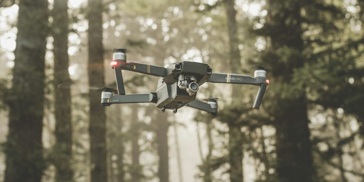
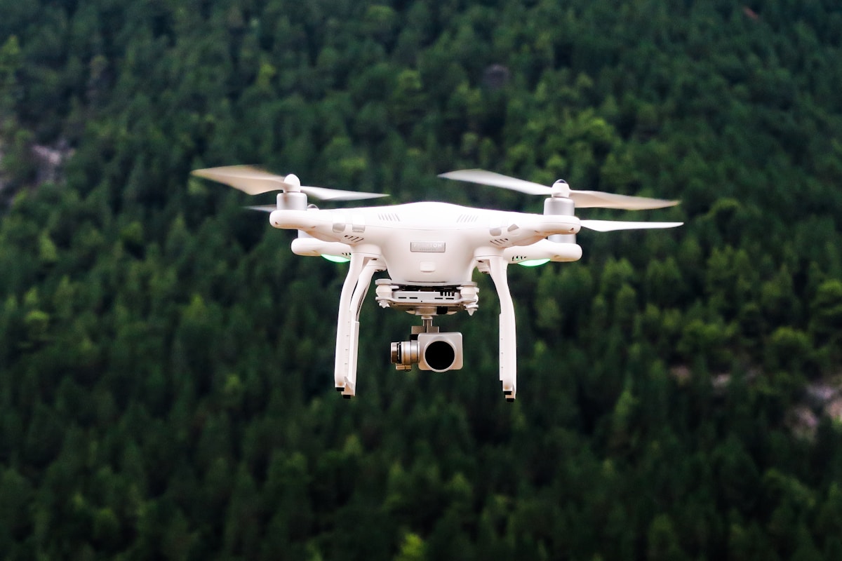
For drones, GPS is basically the backbone of everything. It feeds the aircraft real-time data for navigation, stability, and mission planning. Most UAS lean on GPS to hold a steady course, hover in a fixed spot, or follow a pre-programmed route. If you’re doing any kind of surveying, mapping, or monitoring work, accurate positioning isn’t optional — it’s everything.
That’s what makes GPS endearing to us drone pilots — it just works when you need it to. Nearly every consumer and commercial drone ships with GPS built in. It unlocks features like return-to-home, geofencing, and flight data logging that most of us rely on daily without thinking twice about it.
GPS-Assisted Flight
Here’s where it gets interesting. GPS feeds your drone constant location data, which keeps things stable in the air. The more advanced systems pair GPS with onboard sensors like accelerometers and gyroscopes to squeeze even more stability out of the platform. For pilots, that translates to easier flying and way more precision when you need to thread the needle on a tight maneuver.
Return-to-home might be my favorite GPS feature, honestly. If your UAS loses its connection to the controller or the battery dips too low, it can fly itself back to the takeoff point using stored coordinates. I’ve relied on it more than once and I’m not ashamed to admit that. Then there’s geofencing, which uses GPS to draw invisible boundaries your drone won’t cross. It’s a smart safeguard for staying compliant with airspace rules and keeping everyone out of trouble.
GPS in Different UAS Applications
Surveying and mapping are probably the clearest examples of GPS doing real heavy lifting. With accurate positional data, a drone can sweep over large areas, snapping high-resolution images that later get stitched into 3D models or detailed orthomosaic maps. The tighter your GPS accuracy, the better and more reliable those final products turn out. I’ve seen firsthand how even small GPS errors can throw off an entire project.
Agriculture is another sector where this tech shines. Drones equipped with GPS handle precision tasks like seed planting or fertilizer spraying right where it’s needed. They pull valuable data for monitoring crop health and optimizing field layouts. Farmers use that spatial information to make smarter, data-driven decisions, and the results I’ve seen from agricultural drone operations are genuinely impressive.
Challenges and Limitations
Now, GPS isn’t perfect. I wish it were, but it’s not. Signal loss happens — buildings, trees, canyons, and other obstacles can block or bounce satellite signals in weird ways. Weather plays a role too. Heavy cloud cover or rain can degrade accuracy, and you might not notice the problem until you’re already mid-flight and wondering why your drone is drifting.
The good news? Newer tech is chipping away at these problems year by year. Augmented GPS systems like Differential GPS (DGPS) and Real-Time Kinematic (RTK) GPS bring a massive accuracy boost. RTK in particular provides real-time corrections to satellite signals. We’re talking centimeter-level precision here. That’s wild when you think about it — your drone knows where it is down to a couple centimeters.
Improving GPS Reliability
Manufacturers aren’t content to just rely on GPS alone anymore, and I think that’s the right call. Many are pairing it with Inertial Navigation Systems (INS), which use motion sensors to track movement independently. So when GPS gets flaky — maybe you’re flying behind a building or through an area with weak satellite coverage — the INS picks up the slack and keeps navigation data flowing without interruption.
On the software side, things are moving fast too. Advanced mapping algorithms and AI-driven solutions help sharpen positional accuracy and fill in the gaps during temporary signal drops. These improvements are opening up drone operations in environments that would’ve been off-limits just a few years ago. Think dense urban areas, industrial sites, indoor inspections — places that used to be no-go zones for GPS-dependent aircraft.
The Future of GPS in UAS
Looking ahead, I genuinely think GPS integration in drones is only going to get smarter and more refined. Next-generation satellites and new constellations promise better signal reliability and broader coverage. Pair that with machine learning and other emerging tech, and autonomous flight capabilities are going to reach levels that would’ve sounded like science fiction ten years ago.
The combination of all these technologies will push UAS applications well beyond where they sit today. Logistics, emergency response, environmental monitoring — these sectors are on the verge of a real transformation. GPS will keep sitting at the center of all of it, and I don’t see that changing anytime soon. If anything, its role is only growing larger with each passing year.
Recommended Aviation Gear
David Clark H10-13.4 Aviation Headset – $376.95
The industry standard for aviation headsets.
Pilots Handbook of Aeronautical Knowledge – $25.42
Essential FAA handbook for every pilot.
As an Amazon Associate, we earn from qualifying purchases.