Lidar Data Processing
Light Detection and Ranging, commonly known as Lidar, has emerged as a critical tool in modern geography, surveying, and numerous other fields. Lidar systems use lasers to measure distances with high precision. These systems are often mounted on aircraft or vehicles for scanning large areas. The data gathered from these scans is then processed and analyzed for various applications.

Collection of Lidar Data
Lidar systems emit laser pulses and measure the time it takes for the pulses to return after hitting an object. This time-of-flight information is converted into distance measurements. A typical Lidar system includes a laser scanner, GPS, and Inertial Measurement Unit (IMU). The integration of these components ensures accurate positioning and orientation of the laser pulses.
Data collection usually involves flying or driving over the target area in a systematic manner. The Lidar system collects millions of data points, known as returns or point clouds. Each point in the cloud has x, y, and z coordinates, representing its position in space. These massive datasets require sophisticated processing techniques to extract meaningful information.
Initial Data Processing
Once collected, the raw Lidar data undergoes several initial processing steps. The first step is geo-referencing. This aligns the Lidar data with geographic coordinates using GPS and IMU data. Next, the data is filtered to remove noise. Common sources of noise include atmospheric particles and multiple returns from semi-transparent surfaces like vegetation. Algorithms help identify and eliminate these erroneous points.
The filtered point cloud is then classified into different categories. Ground points are separated from non-ground points such as buildings and vegetation. This classification is essential for creating digital elevation models (DEMs) and digital surface models (DSMs).
Creating Elevation Models
DEMs represent the bare-earth surface, devoid of any objects. They are created by interpolating the ground points from the classified point cloud. DEMs are widely used in topographic mapping, flood modeling, and geological studies.
DSMs, on the other hand, include all objects on the surface. They are created using both ground and non-ground points. DSMs are useful for urban planning, forestry, and infrastructure monitoring.
Lidar Data Applications
Lidar data has a wide range of applications across various fields:
Topographic Mapping
Lidar is extensively used in generating high-resolution topographic maps. These maps are crucial for land management, construction projects, and environmental studies.
Forestry
In forestry, Lidar data helps measure tree height, canopy density, and biomass. This information is vital for forest management, conservation, and carbon stock assessments.
Coastal Engineering
Lidar is also employed in coastal areas to monitor shoreline changes, sediment transport, and erosion. Accurate elevation data supports the design of coastal protection measures.
Urban Planning
In urban settings, Lidar data assists in mapping buildings, roads, and other infrastructure. Planners use this data for zoning, transportation planning, and disaster management.
Agriculture
Precision agriculture benefits from Lidar by assessing crop health and optimizing irrigation. Lidar-generated elevation models help in designing efficient drainage systems.
Advanced Processing Techniques
Machine learning and artificial intelligence are increasingly used for advanced Lidar data processing. Algorithms can automatically classify points, detect changes over time, and extract features. These techniques streamline the processing workflow and enhance the accuracy of the results.
Change Detection
Change detection involves comparing Lidar datasets from different time periods. This helps in identifying changes in land use, vegetation growth, and infrastructure development. Automated algorithms can quickly detect and quantify these changes.
Feature Extraction
Feature extraction techniques focus on identifying specific objects within the point cloud. These objects can include buildings, roads, and power lines. Automated extraction improves the efficiency of mapping and infrastructure monitoring.
Challenges in Lidar Data Processing
While Lidar offers numerous benefits, it also presents certain challenges. The sheer volume of data requires significant storage and computational resources. Processing large datasets can be time-consuming and demanding.
Another challenge is ensuring data accuracy. Errors in GPS or IMU data can result in misalignment of the point cloud. Proper calibration and quality control are essential to mitigate these issues.
Vegetation and water bodies pose unique challenges. Dense vegetation can obscure the ground, making it difficult to create accurate DEMs. Water bodies can reflect laser pulses unpredictably, leading to noisy data. Specialized algorithms are needed to address these challenges.
Future Trends in Lidar Data Processing
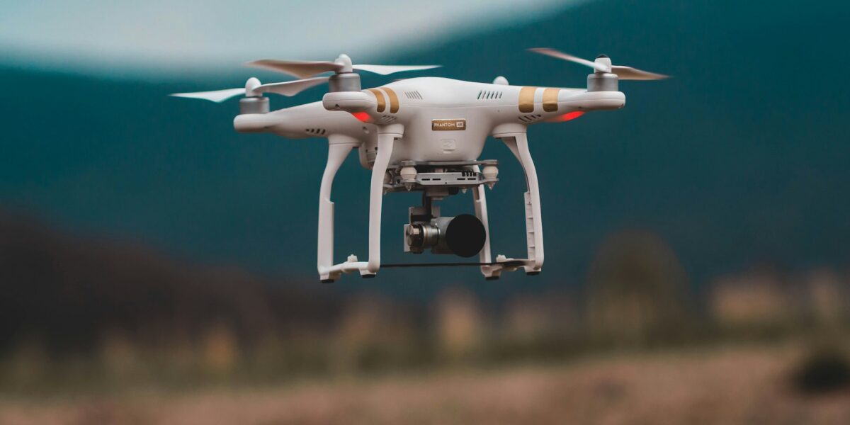
As technology advances, Lidar systems are becoming more accessible and efficient. Miniaturized Lidar sensors are being integrated into drones, expanding the range of applications. Real-time Lidar data processing is also becoming feasible, enabling immediate analysis and decision-making.
Integration with other data sources, such as satellite imagery and photogrammetry, is another emerging trend. Combining different datasets provides a more comprehensive understanding of the environment. Multispectral Lidar systems are also being developed, capturing additional information about the scanned objects.


