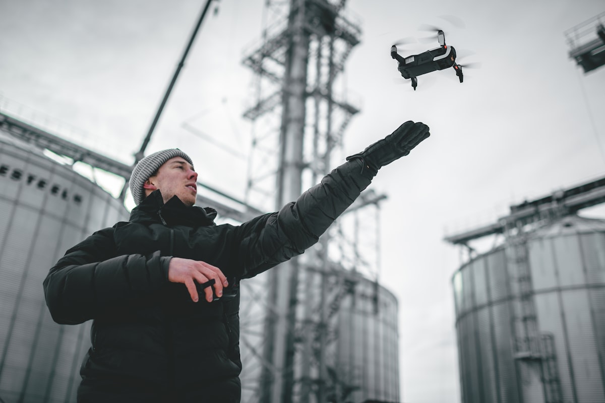
Drone Services for Disaster Response
In the face of natural disasters, rapid response is crucial. Drones offer an innovative solution, providing critical support in assessing damage and aiding recovery efforts. These unmanned aerial vehicles (UAVs) can quickly reach areas that are otherwise inaccessible or unsafe for human responders.

Immediate Damage Assessment
One of the primary uses of drones in disaster response is immediate damage assessment. Equipped with high-resolution cameras, drones can capture detailed images of affected areas. This real-time data allows emergency teams to evaluate the extent of damage and prioritize their efforts.
During hurricanes, drones can fly over flooded regions to document water levels and property damage. After earthquakes, they can survey collapsed buildings and infrastructure. These aerial views help create accurate maps, which are vital for organizing rescue and relief operations.
Search and Rescue Operations
Drones play a pivotal role in search and rescue missions. With thermal imaging cameras, they can detect heat signatures from humans, even through dense foliage or rubble. This capability significantly increases the chances of locating survivors in challenging environments.
For instance, in the aftermath of landslides, drones can quickly scan the terrain for signs of life. In forested areas, thermal drones can spot lost hikers or trapped individuals. These UAVs can cover large areas much faster than ground teams, ensuring timely aid reaches those in need.
Communication and Coordination
In disaster scenarios, communication networks often fail. Drones can serve as temporary communication hubs, relaying signals between responders and affected communities. This function is particularly useful in remote or heavily damaged regions where traditional infrastructure is non-functional.
Drones equipped with radio relay systems can establish emergency communication lines. They help coordinate between different agencies working on the ground. This seamless communication ensures a more organized and effective disaster response.
Delivery of Essential Supplies
In inaccessible areas, drones can deliver essential supplies like food, water, and medical kits. This capability is invaluable during the initial hours following a disaster when roads might be blocked or unsafe.
Medical drones, for example, can transport medicine, blood samples, and even small medical equipment to hospitals. Aid organizations use them to drop relief packages to stranded communities. This rapid delivery system helps sustain life until conventional supply chains are restored.
Risk Monitoring and Management
Beyond immediate response, drones are also vital for ongoing risk monitoring. They can track changes in an environment that might signal further threats. For instance, after an earthquake, drones monitor landslides or structural weaknesses in buildings that might cause future collapses.
In flood-prone areas, drones can keep an eye on rising water levels, providing early warning to communities. This ongoing surveillance helps in planning long-term disaster management strategies and minimizes the risk of secondary disasters.
Mapping and Data Collection
Advanced mapping capabilities of drones aid in creating detailed topographical maps. These maps are used for planning rescue routes, identifying safe zones, and organizing logistics. High-resolution 3D maps generated by drones give responders a clear picture of the terrain and infrastructure.
Drone-collected data is also crucial for research and future disaster preparedness. Analyzing data from past incidents helps improve response strategies and infrastructure resilience. Decision-makers can use this information to allocate resources more effectively and enhance community preparedness.
Cost-Effective and Efficient
Drones are a cost-effective alternative to traditional aircraft and manned missions. They require less operational manpower, reducing costs significantly. Their ability to operate in hazardous conditions without risking human lives makes them an invaluable asset in disaster response.
With advancements in drone technology, their range, battery life, and payload capacity are continually improving. This evolution means more comprehensive and prolonged missions, further enhancing their utility in disaster scenarios.
Case Studies and Real-World Applications
In recent years, drones have been pivotal in numerous disaster response efforts. During the 2017 hurricanes in Puerto Rico, drones provided crucial aerial footage, identifying blocked roads and damaged infrastructure. This information was vital for planning and executing relief operations.
Another example is the 2015 Nepal earthquake. Drones helped survey the extensive damage in Kathmandu and remote villages. They mapped areas unreachable by road, guiding rescue teams to the hardest-hit locations. Their role significantly expedited the relief efforts.
In Australia, during the devastating 2019-2020 bushfires, drones were used to monitor fire progression and assess damage. Equipped with thermal cameras, they located hotspots and helped firefighters strategize their containment efforts. This real-time data was essential for protecting lives and property.
Challenges and Limitations
Despite their advantages, using drones in disaster response comes with challenges. Weather conditions can impede flight operations. High winds, heavy rain, or extreme temperatures affect their performance and safety.
Regulatory frameworks also influence drone deployment. While many countries are adopting more flexible regulations, there are still restrictions on where and how drones can be used. Ensuring compliance with these regulations is crucial for effective drone operation in emergencies.
Another limitation is the need for skilled operators. Flying drones in disaster zones requires expertise. Emergency teams must be trained to pilot drones and analyze the data they collect. This necessity adds another layer to disaster preparedness planning.
The Future of Drones in Disaster Response
The potential for drones in disaster response is immense. As technology advances, drones will become even more integral to emergency management. Innovations like AI-powered drones, swarming technology, and improved autonomous flight capabilities promise greater efficiency and effectiveness.
AI can enhance the analytical capabilities of drones, enabling them to identify damage patterns and predict potential hazards. Swarming technology, where multiple drones operate in coordination, can cover vast areas and complex missions more efficiently. Autonomous drones can execute missions without direct human control, speeding up response times.
The integration of drones with other technologies will further enhance disaster response. Combining UAVs with IoT (Internet of Things), big data, and geospatial technologies will provide a holistic approach to managing disasters. Real-time data from various sources can be integrated, offering comprehensive situational awareness.
Conclusion
Drones are revolutionizing disaster response. Their ability to provide rapid, real-time information and deliver essential supplies makes them indispensable. Despite the challenges, their advantages far outweigh the limitations. With ongoing advancements, drones will continue to play a critical role in saving lives and aiding recovery efforts in disaster-stricken areas.

