Drone Land Surveying
Drone technology has revolutionized many industries, and land surveying is no exception. Traditional methods of surveying are time-consuming and labor-intensive. Drones offer a faster, more efficient alternative. This shift is transforming how surveyors capture and process data.

Understanding Drone Technology
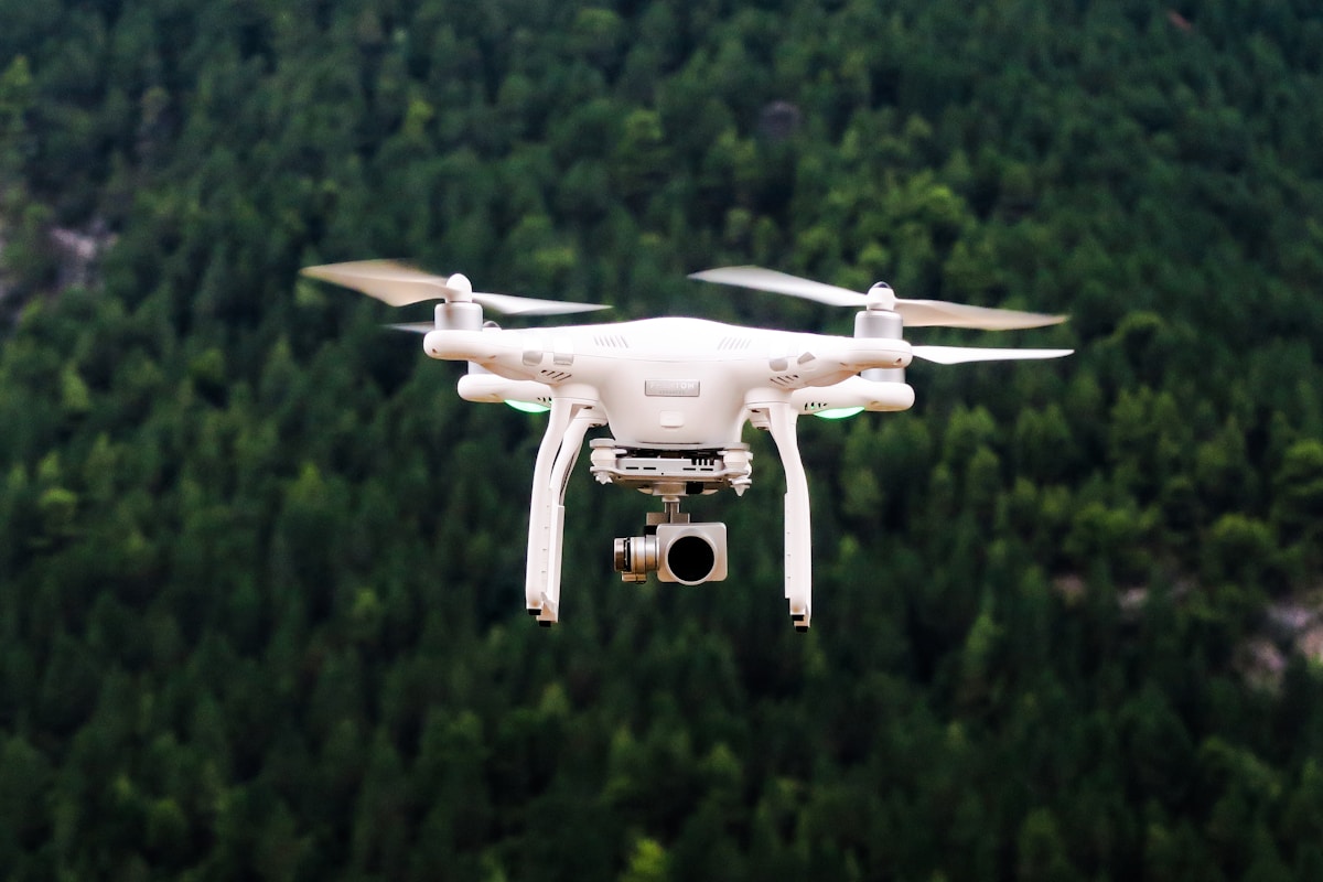
Drones, also known as unmanned aerial vehicles (UAVs), are equipped with cameras, sensors, and GPS. They fly over an area and capture high-resolution images. These images are then processed to create detailed maps and 3D models. Drone surveying is versatile. It can cover large areas quickly, capturing data that would take weeks to gather using traditional methods.
Benefits of Drone Surveying
Using drones in land surveying comes with several benefits:
- Speed: Drones can survey large areas in a fraction of the time it takes with ground-based methods.
- Cost-efficiency: Reduced manpower and equipment costs translate to significant savings.
- Accuracy: High-resolution imagery and advanced GPS ensure precise data collection.
- Safety: By eliminating the need for surveyors to access hazardous or difficult terrains, drones reduce the risk of accidents.
- Access to remote areas: Drones can easily reach areas that are otherwise difficult or impossible to survey.
Applications in Land Surveying
Drones are used in various aspects of land surveying:
Topographic Surveys
Drones capture accurate topographic data by flying over the land and mapping its features. This data is essential for planning construction projects, mining operations, and environmental studies.
Volumetric Measurements
Surveyors use drones to measure volumes of stockpiles and earthworks. By capturing aerial images and creating 3D models, surveyors can calculate volumes with high precision.
Construction Monitoring
Drones regularly monitor construction sites. They provide real-time data on progress, identify potential issues, and ensure projects stay on schedule.
Environmental Monitoring
Drones help track environmental changes over time. They provide valuable data for studying erosion, vegetation growth, and changes in water bodies.
The Process of Drone Surveying
The process typically involves several stages:
Planning
Surveyors start by creating a flight plan. This plan includes the area to be surveyed, the altitude of the flight, and the type of data needed. Software tools assist in designing efficient flight paths to cover the survey area comprehensively.
Data Collection
The drone flies according to the flight plan and captures images and data. Advanced drones use RTK (Real-Time Kinematic) GPS for high-precision positioning.
Data Processing
The raw data from the drone is processed using specialized software. This software stitches the images together to create orthomosaic maps and 3D models. The processed data is then analyzed to extract required information.
Challenges and Limitations
While drones offer many advantages, they also come with some challenges:
- Weather Dependency: Drones cannot fly in adverse weather conditions such as heavy rain, strong winds, or fog. This can delay surveys.
- Battery Life: Most drones have limited flight times due to battery constraints. This can necessitate multiple flights for larger areas.
- Regulatory Issues: Different regions have varying regulations concerning drone flights. Surveyors must ensure compliance with local laws and obtain necessary permissions.
- Data Management: The large volumes of data collected by drones require efficient storage, processing, and analysis methods.
Future of Drone Land Surveying
The field of drone surveying is continually evolving. Advances in drone technology, such as improved autonomy, longer flight times, and better sensors, will further enhance their utility. Integration with AI and machine learning can automate data processing and analysis, making surveys even more efficient. Augmented reality (AR) and virtual reality (VR) technologies can offer new ways to interact with and visualize survey data.
As regulations become more clear and standardized, the adoption of drones in land surveying is expected to increase. The continuous improvement in accuracy and reliability of drone surveys will make them indispensable tools in the surveying toolkit.

