Aerial Photogrammetry
Aerial photogrammetry is a process that involves taking photographs from an airborne platform to create maps and 3D models. This technology has transformed various fields, including surveying, archaeology, and forestry. By capturing detailed images from the sky, professionals can gain insights that are impossible to achieve from the ground.

History and Development
The origins of aerial photogrammetry trace back to the mid-19th century, shortly after the invention of photography. Early adopters used balloons and kites to lift cameras, capturing images of the earth’s surface. The advancement of airplane technology during World War I introduced a new platform, leading to more extensive use in mapping and reconnaissance.
Post-war periods saw significant technological progress. Photogrammetry evolved with the integration of digital cameras, GPS, and software advancements. These innovations have made it easier and faster to process aerial images, enhancing their accuracy and utility.
Modern Techniques and Equipment
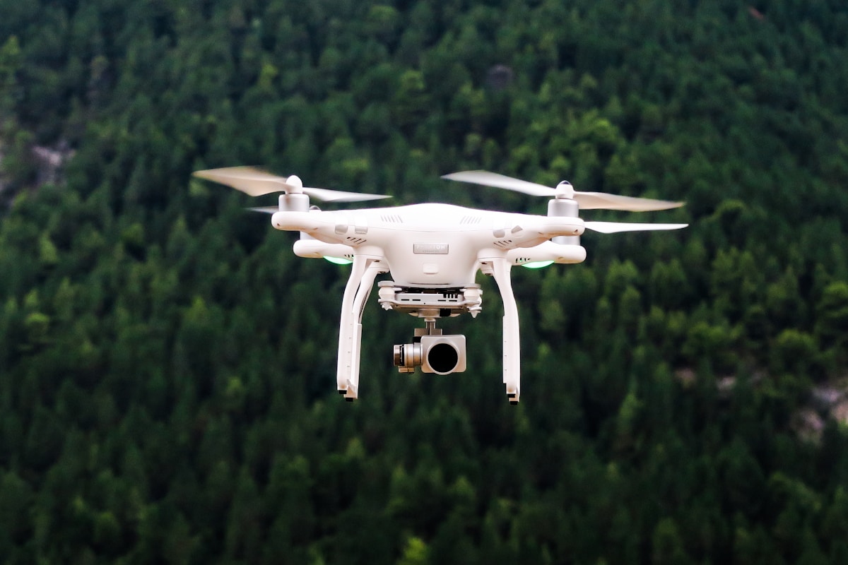
Today’s aerial photogrammetry relies on sophisticated tools such as drones, airplanes, and helicopters, equipped with high-resolution cameras. Drones, in particular, have made photogrammetry more accessible. They can fly at lower altitudes, providing detailed imagery and flexibility for various applications.
- Drones: Typically used for small to medium-scale projects. They offer precise control and can operate in diverse environments.
- Airplanes: Suitable for large-scale surveys, covering extensive areas quickly.
- Helicopters: Provide the ability to hover and capture images of specific sites, useful in areas with difficult terrain.
Applications
Aerial photogrammetry serves numerous industries by providing critical data for mapping, analysis, and decision-making. Some key applications include:
Surveying and Mapping
One of the most common uses is in surveying and mapping. Aerial photogrammetry can create topographic maps, contour lines, and digital elevation models (DEMs). Surveyors can obtain accurate measurements of land features, aiding in construction planning, land development, and urban planning.
Archaeology
Archaeologists use aerial photogrammetry to uncover and document historical sites. High-resolution imagery helps identify areas of interest, revealing structures and artifacts buried underground. This non-invasive method preserves the integrity of the site while providing valuable data.
Forestry and Agriculture
In forestry, aerial photogrammetry is used to monitor forest health, estimate biomass, and plan sustainable management practices. Farmers use this technology to assess crop health, optimize irrigation, and enhance productivity. Aerial images can capture variations in soil and vegetation that are not visible from the ground.
Environmental Monitoring
Environmental scientists rely on aerial photogrammetry to track changes in landscapes, such as erosion, deforestation, and wetland loss. By comparing images over time, researchers can assess the impact of natural disasters and human activities on ecosystems.
Infrastructure and Construction
Engineers use aerial photogrammetry for planning and monitoring infrastructure projects. It provides accurate site surveys, reducing the need for manual measurements. This improves efficiency and reduces costs. Construction progress can be tracked, ensuring compliance with design specifications.
Process of Aerial Photogrammetry
The process involves several steps, from planning to data processing and analysis.
Flight Planning
Flight planning is crucial to ensure coverage and image quality. Factors like altitude, camera settings, and flight paths must be carefully planned. Software tools assist in designing optimal patterns to cover the survey area.
Image Acquisition
Images are captured using aerial platforms. Effective overlap between images is necessary to create 3D models. Overlapping ensures that each point on the ground is captured from multiple angles, improving accuracy.
Data Processing
After image acquisition, the data is processed using specialized software. Key processes include:
- Image Alignment: Aligning overlapping images based on common points.
- Point Cloud Generation: Creating a dense point cloud representing the surveyed area.
- 3D Modeling: Generating 3D models and orthomosaics from the point cloud.
Challenges and Considerations
Despite its advantages, aerial photogrammetry has challenges. Weather conditions affect image quality. Cloud cover, rain, and wind can hinder data collection. Regulatory restrictions on drone flights can limit operations in certain areas. Privacy concerns also arise when capturing images over private properties.
Accuracy is another critical factor. While aerial photogrammetry provides high accuracy, ground control points (GCPs) are often used to improve geolocation. GCPs are marked locations with known coordinates, aiding in aligning aerial data with real-world positions.
Future of Aerial Photogrammetry
The future of aerial photogrammetry looks promising. Advances in drone technology, sensor quality, and data processing will further enhance capabilities. Integration with artificial intelligence and machine learning can automate data analysis, making it faster and more accurate.
Urban areas, infrastructure projects, and environmental monitoring will benefit from these advancements. The ability to capture and analyze aerial data in near real-time will drive more informed decision-making across industries.
Conclusion
Aerial photogrammetry has transformed how we see and understand the world. From its early days with balloons to modern drones, the technology has continually evolved. Its applications are vast, providing critical data for numerous fields. As technology continues to advance, aerial photogrammetry’s role will only grow, driving innovation and efficiency across industries.

