Drone Imaging
Drone Imaging
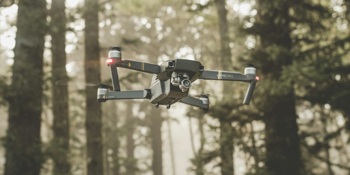
Drone imaging technology has rapidly evolved over the last decade. These unmanned aerial vehicles (UAVs) are equipped with high-resolution cameras and advanced sensors. They are now widely used across various sectors such as agriculture, construction, real estate, and environmental monitoring.

Historically, aerial imaging was limited to satellites and manned aircraft. The associated costs were high, and accessibility was low. However, drones have democratized aerial imaging. They are cost-effective, easy to operate, and accessible to both professionals and hobbyists.
Applications in Agriculture
Drones significantly benefit the agricultural industry. Farmers now use drones to monitor crop health, soil conditions, and irrigation systems. Multispectral sensors on drones capture data beyond the visible spectrum. This helps in detecting crop stress, water levels, and nutrient deficiencies.
Precision agriculture is another area where drones excel. With GPS technology, drones can create detailed maps of fields. These maps guide farmers in optimizing planting patterns and managing crop variability. This leads to improved yields and more efficient use of resources.
Construction and Infrastructure
In construction, drones provide an efficient way to survey sites and track progress. High-resolution images and 3D models created from drone data offer a comprehensive view of the site. This data assists in planning, decision-making, and communication among project stakeholders.
Regular drone flights over a construction site help monitor progress and ensure compliance with design specifications. They also enhance safety by identifying potential hazards. Infrastructure inspections have also seen great advancements with drone technology. Bridges, towers, and pipelines can be checked without putting human lives at risk.
Real Estate
Real estate professionals use drones to create dynamic property listings. Aerial photos and videos provide potential buyers with a unique perspective. High-quality drone footage showcases properties’ exteriors, surrounding landscapes, and neighborhood amenities.
Drones also assist in property surveys and appraisals. Accurate measurements and condition assessments are quickly obtained. This is especially useful for large estates and rural properties, where traditional surveying methods may be time-consuming and costly.
Environmental Monitoring
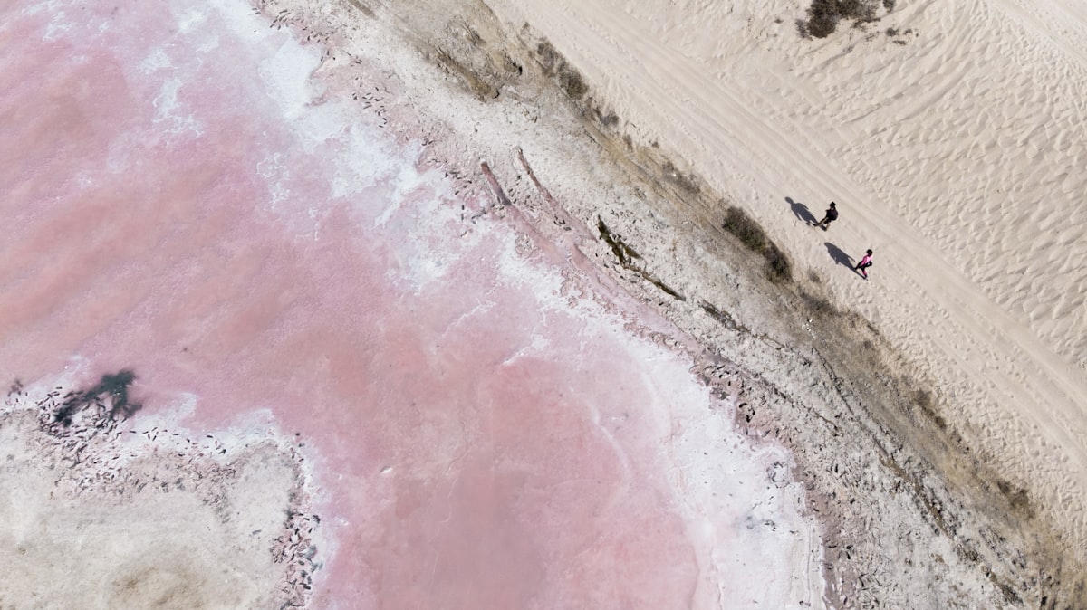
Environmental scientists use drones for various monitoring and research activities. They study wildlife habitats, track animal movements, and survey natural disasters’ impact areas. Drones capture images and data in hard-to-reach locations without disturbing the ecosystem.
Drones also monitor deforestation, melting glaciers, and coastal erosion. They provide crucial data for climate change research and conservation efforts. The real-time data and frequent monitoring capabilities make drones invaluable in environmental stewardship.
Technological Advancements
Drones today come equipped with various sensors including thermal cameras, LIDAR, and multispectral sensors. These advancements have broadened the applications of drone imaging. LIDAR, for example, allows drones to create detailed topographic maps. This is useful in land surveys, forestry, and flood modeling.
Thermal cameras enable drones to detect heat signatures. This has applications in search and rescue operations, firefighting, and industrial inspections. Multispectral sensors capture data in multiple wavelengths. This is critical in agriculture, environmental monitoring, and geological surveys.
Furthermore, advancements in AI and machine learning have enhanced drone image processing. Sophisticated algorithms analyze drone data to identify patterns and anomalies. This automates the decision-making process and provides actionable insights faster.
Regulations and Safety
The use of drones is regulated to ensure safety and privacy. Regulatory bodies like the Federal Aviation Administration (FAA) in the United States set rules for drone operations. Operators must comply with these regulations to avoid fines and penalties.
Key regulations include pilot certification, drone registration, and flight restrictions. Commercial drone pilots need a Remote Pilot Certificate. Drones must be registered if they weigh above a specific limit. Operators should avoid flying near airports, over people, or beyond the visual line of sight.
Safety is paramount in drone operations. Drone pilots should conduct pre-flight checks, maintain situational awareness, and adhere to no-fly zones. Using drones responsibly ensures they benefit society without compromising safety and privacy.
Challenges and Future Prospects
Despite the numerous advantages, drone imaging faces challenges. Battery life is limited, restricting flight duration and range. Weather conditions can affect flight stability and data quality. Regulatory restrictions may also limit the use of drones in certain areas.
However, ongoing research and development aim to overcome these challenges. Battery technology is improving, promising longer flight times. Enhanced materials and designs make drones more weather-resistant. AI and machine learning continue to push the boundaries of drone capabilities.
The future prospects of drone imaging are promising. As technology advances, drones will become more autonomous and efficient. They will integrate seamlessly with other technologies like IoT and 5G. This convergence will unlock new possibilities and applications for drone imaging.
Drone imaging has transformed how industries operate and make decisions. It provides critical data accurately and efficiently. As drone technology continues to evolve, its impact will only grow, driving innovation and progress across various fields.


