Drone Imaging
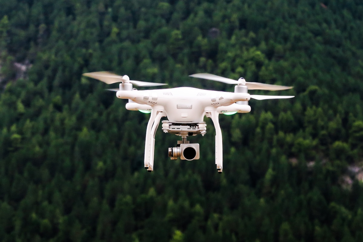
Drone imaging has revolutionized the way industries gather and analyze visual data. With advancements in drone technology, capturing high-resolution images and videos from the sky has become more accessible and affordable. This transformation spans across several domains including agriculture, construction, real estate, environmental management, and emergency response.

Agricultural Applications
Farmers use drone imaging to monitor crop health, optimize irrigation, and increase yield. By capturing detailed aerial images, drones can detect variations in plant health that are invisible to the naked eye. These images help in identifying areas facing water stress, pest infestations, or nutrient deficiencies.
Drones equipped with multispectral sensors can differentiate between healthy and unhealthy vegetation. This data guides farmers in applying fertilizers and pesticides precisely, reducing waste and cost. Also, by monitoring growth stages and plant vigor, drones assist in predicting harvest times more accurately.
Construction and Infrastructure
Drone imaging is a game-changer in the construction industry. It offers a cost-effective method to survey large construction sites. Drones provide real-time progress reports, improving project management and timeline adherence. They capture detailed images and 3D models of the site, allowing for better planning and decision making.
Inspecting structures for maintenance and damage is now easier with drones. Instead of manual inspections, which can be dangerous and time-consuming, drones can quickly assess the integrity of buildings, bridges, and other infrastructures. High-resolution images and thermal sensors help detect cracks, leaks, and other structural issues before they become critical, ensuring safety and longevity.
Real Estate Marketing
Real estate agents leverage drone imaging to create captivating property listings. Drones can capture stunning aerial photos and videos that highlight a property’s best features. Prospective buyers get a better sense of the property’s layout and surrounding area. This visual content makes listings more attractive and can increase the likelihood of a sale.
Moreover, drones are used for creating virtual tours and 3D models of homes. These immersive experiences enable potential buyers to explore properties from the comfort of their own homes. This technology is particularly beneficial for out-of-town buyers who cannot visit in person.
Environmental Conservation
Drones play a critical role in environmental monitoring and conservation. They help researchers in mapping ecosystems, tracking wildlife, and monitoring changes over time. These tasks were once labor-intensive and often required aerial surveys from manned aircraft, which are costly and logistically challenging.
By capturing high-resolution images of forests, coastlines, and wetlands, drones provide invaluable data for conservation efforts. This data helps in detecting illegal logging, poaching, and other environmental threats. Additionally, drones can access remote or hazardous areas, making research safer and more efficient.
Emergency Response and Disaster Management
Drones are increasingly used in emergency response scenarios. They provide rapid situational awareness during natural disasters such as floods, hurricanes, and earthquakes. By capturing real-time images and videos, drones help responders assess damage, locate stranded individuals, and prioritize rescue efforts.
In search and rescue operations, drones can cover large areas quickly and access hard-to-reach locations. Equipped with thermal cameras, they can detect body heat, increasing the chances of finding survivors. Moreover, drones can deliver supplies to isolated areas, providing lifesaving aid when traditional methods are impractical.
Technological Developments
The capabilities of drone imaging are expanding with technological advancements. Improvements in camera resolution, battery life, and autonomous flight modes enhance the efficiency and versatility of drones. Integration with artificial intelligence (AI) and machine learning allows for advanced image analysis and data processing.
AI algorithms can automatically identify and classify objects in drone images, providing actionable insights. For instance, in agriculture, AI can detect specific crop diseases and recommend treatment strategies. In construction, AI can monitor progress and flag deviations from the project plan. These advancements make drone imaging a powerful tool for data-driven decision making.
Regulatory Considerations
The rise of drone imaging has prompted the need for regulatory frameworks to ensure safety and privacy. Aviation authorities worldwide have established guidelines for drone operation. These regulations often include restrictions on flight altitude, proximity to airports, and operation in populated areas.
Pilots must adhere to registration and licensing requirements, and commercial drone operators need to comply with specific operational rules. Understanding and following these regulations is crucial for safe and legal drone imaging practices.
Future Prospects
The future of drone imaging looks promising. Continued innovation in drone technology will expand its applications and improve its capabilities. Drones will become more autonomous, requiring less manual intervention. Enhanced sensors and imaging technologies will provide even more detailed and accurate data.
The integration of drones with other emerging technologies, such as the Internet of Things (IoT) and 5G networks, will further enhance their utility. Real-time data transmission and cloud-based processing will enable instant analysis and decision making. These advancements will widen the scope of drone imaging, making it an indispensable tool across industries.
Recommended Aviation Gear
David Clark H10-13.4 Aviation Headset – $376.95
The industry standard for aviation headsets.
Pilots Handbook of Aeronautical Knowledge – $25.42
Essential FAA handbook for every pilot.
As an Amazon Associate, we earn from qualifying purchases.


