Drone Inspections
Drones have revolutionized many industries. Their ability to reach difficult areas makes them invaluable. Drone inspections are now a standard part of business operations in various sectors.

How Drones Work in Inspections
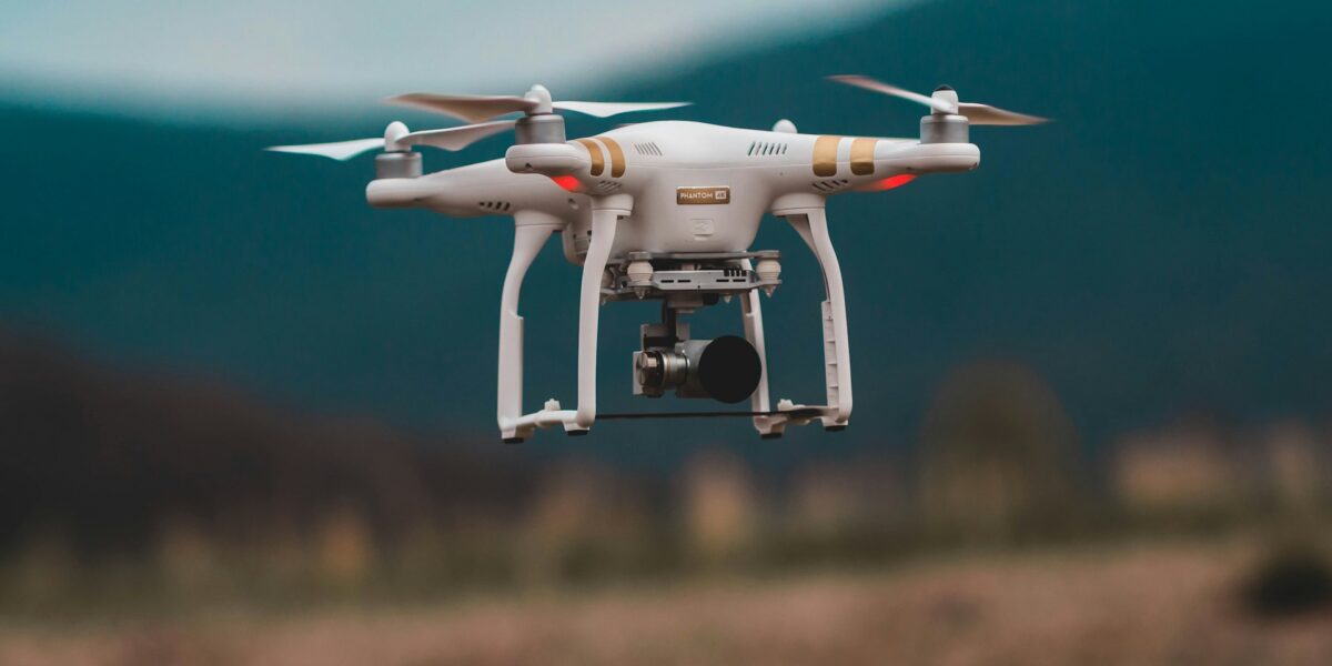
Cameras equipped on drones capture high-resolution images and videos. Sensors collect data in real-time for analysis. These drones often come with GPS for precise location tracking. They can fly over or around structures to gather comprehensive data.
Industries Utilizing Drone Inspections
Construction: Drones monitor site progress. They inspect hard-to-reach places like tall buildings or bridges. This allows for timely updates and identification of potential issues.
Energy: In the oil and gas industry, drones inspect pipelines and offshore rigs. They help spot leaks or structural damage. In renewable energy, they check wind turbines and solar panels.
Agriculture: Drones assess crop health using NDVI (Normalized Difference Vegetation Index). They monitor irrigation systems and assess overall soil condition.
Telecommunications: Drones inspect cell towers. They save technicians the hazardous task of climbing these tall structures.
Benefits of Drone Inspections
Efficiency: Drone inspections are faster than manual inspections. They reduce the time needed to complete a task. This allows for more frequent checks and improved maintenance schedules.
Safety: Drones minimize the risk of injury. Inspectors can examine dangerous areas from a safe distance. This reduces the need for climbing or entering hazardous sites.
Cost-Effective: Reducing the need for manual labor and equipment lowers inspection costs. Drones can cover large areas quickly, saving both time and money.
Accuracy: High-quality images and real-time data provide accurate analysis. This improves decision-making and helps in preventive maintenance.
Technologies Used in Drone Inspections
High-Resolution Cameras: These capture detailed images for thorough analysis. They are essential for identifying small issues that may not be visible from the ground.
Thermal Imaging Cameras: Detect heat variations. Useful in locating hotspots in electrical inspections or leaks in pipelines.
LiDAR (Light Detection and Ranging): Creates 3D models of inspected areas. It’s highly effective in terrain mapping and infrastructure inspection.
Sensors: Measure various parameters like gas detection or radiation levels. Offers real-time data collection and instant alerts.
Regulations and Compliance
Drone operations are regulated by aviation authorities like the FAA in the United States. Pilots need certification and must adhere to specific guidelines. These rules ensure safety and privacy compliance during drone inspections.
Challenges Faced in Drone Inspections
Weather Conditions: Drones are susceptible to poor weather. High winds, rain, or snow can affect their performance and data accuracy.
Battery Life: Limited battery life restricts flight time. This affects the inspection of larger areas unless multiple drones are used.
Data Management: Handling and analyzing large volumes of data can be challenging. Efficient data processing systems are needed for timely analysis.
Technical Issues: Drones may face malfunctions or connectivity issues. Regular maintenance and updates are crucial to avoid downtime.
The Future of Drone Inspections
Advancements in AI and machine learning are improving data analysis. Autonomous drones will soon carry out inspections without human intervention. Enhanced battery technology will allow longer flights. The integration of 5G will enable faster data transfer, optimizing real-time analysis capabilities. As drones become more advanced, their application in inspections will continue to grow, making operations more efficient, safe, and cost-effective.


