Understanding the Role of a Drone Surveying Company
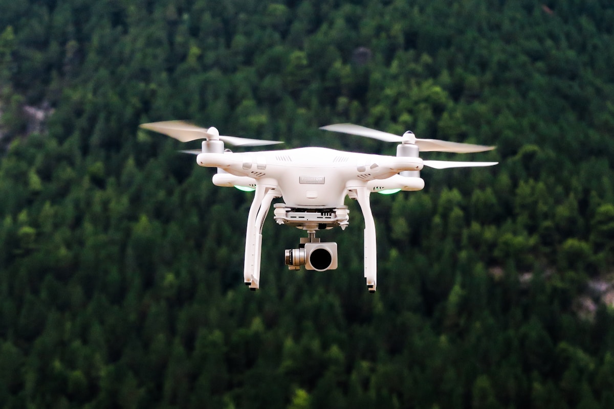
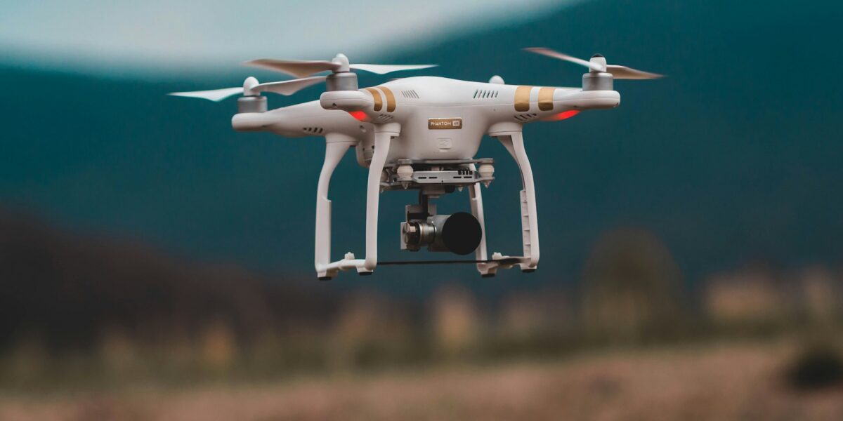
Drone surveying companies are transforming industries with their advanced technology and capabilities. These companies use drones, also known as UAVs (Unmanned Aerial Vehicles), to capture aerial data efficiently. The technology provides precise surveys and high-quality images and offers exciting new possibilities for various applications.

Applications of Drone Surveying
Drone surveying companies serve multiple sectors. In construction, drones can survey large sites accurately. They create detailed topographic maps that guide the planning and construction processes. Real estate professionals use drone surveys to showcase properties with stunning aerial views. This not only saves time but also enhances the marketability of the listings.
Agriculture
In agriculture, drones assess crop health, monitor fields, and manage irrigation systems. They help farmers make informed decisions regarding planting and harvesting. The high-resolution imagery reveals patterns and issues not visible from the ground.
Environmental Monitoring
Environmental monitoring benefits from drone surveying too. Companies can monitor wildlife, track changes in vegetation, and map ecosystems. This is vital for conservation efforts and environmental impact assessments.
Infrastructure Inspection
Inspecting critical infrastructure such as bridges, towers, and pipelines is faster and safer with drones. They remove the need for manual inspections, reducing risk and downtime. The data collected can be analyzed to predict maintenance needs and prevent failures.
Advantages of Using Drone Surveys
The adoption of drone technology in surveying offers numerous advantages. Accuracy is a key benefit. Traditional survey methods rely on ground measurements, which can be time-consuming and less precise over large areas. Drones provide high-resolution images and precise geospatial data, improving the accuracy of surveys.
Cost efficiency is another significant advantage. Traditional surveys often require extensive manpower and equipment. With drones, a single operator can cover vast areas in a fraction of the time, reducing labor costs. The speed of data collection ensures quicker turnaround times for project completion.
Data Collection and Processing
Drone surveying involves capturing data through various sensors. Cameras, LiDAR, and thermal sensors are commonly used. Each sensor type provides different data sets that can be combined for comprehensive analysis. Cameras capture high-resolution images, useful for mapping and inspections. LiDAR sensors create detailed 3D models of the terrain, ideal for topographic surveys. Thermal sensors detect temperature variations useful in agriculture and infrastructure inspection.
Once the data is collected, it needs to be processed. Advanced software solutions allow for stitching images together to create orthomosaic maps. These maps are georeferenced, meaning they are accurate to real-world coordinates. The software also helps in creating 3D models, point clouds, and other outputs relevant to the survey’s objective.
Regulatory Considerations
Operating a drone surveying company requires adherence to regulations. Different countries have different rules regarding drone operation. In the United States, the Federal Aviation Administration (FAA) governs drone usage. Surveying companies must ensure their pilots are certified and comply with airspace restrictions. Insurance is also critical, covering potential damages or accidents during operations.
Challenges and Limitations
Despite their advantages, drone surveys have limitations. Weather conditions can significantly impact operations. High winds, rain, and poor visibility can hinder data collection. Furthermore, drones have limited battery life, restricting the area they can cover in a single flight. These constraints require careful planning and sometimes necessitate multiple flights to complete a survey.
The Future of Drone Surveying
The future of drone surveying looks promising. Technological advancements are continually expanding the capabilities of drones. Integration with AI and machine learning allows for more sophisticated data analysis. This leads to more valuable insights and further automation of the surveying process.
Emerging technologies like 5G will enhance drone connectivity and data transfer speeds. This will enable real-time data processing, improving efficiency and responsiveness. The continuous innovation in this field will likely lead to new applications and broader adoption across various sectors.
Choosing a Drone Surveying Company
When selecting a drone surveying company, consider several factors. Experience and expertise are paramount. Look for a company with a proven track record in your specific industry. Check for certifications and compliance with regulations. Evaluate the technology they use and their data processing capabilities. Customer reviews and case studies provide valuable insights into their service quality and reliability.
A good drone surveying company will offer end-to-end solutions. This means they handle everything from data collection to data analysis and reporting. Such comprehensive services ensure you get the most accurate and actionable insights from the surveys.
Conclusion
Drone surveying companies are at the forefront of technological innovation. Their services provide precise, efficient, and cost-effective solutions across various industries. As technology continues to evolve, the potential applications and benefits of drone surveying will only increase.

