Drone Surveying Company
Drone technology is transforming industries. Surveying is one sector experiencing significant advancements due to drones. Drone surveying companies offer faster, more accurate, and cost-efficient solutions compared to traditional methods.

How Drone Surveying Works
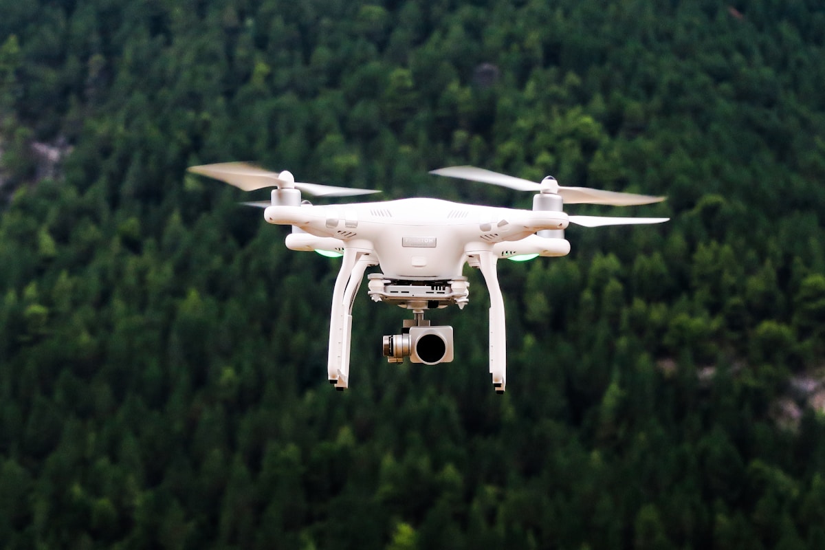
Drones use high-resolution cameras and sensors. They capture images from the air, creating detailed maps and 3D models. Geospatial data collected includes terrain contours, surface models, and orthoimages. Engineers and designers use this data for planning, construction, environmental studies, and more.
Types of Drones Used in Surveying
Two main types of drones are used for surveying: fixed-wing and multi-rotor. Fixed-wing drones cover large areas quickly, ideal for topographic mapping and land surveying. Multi-rotor drones excel in precision and maneuverability, making them suitable for detailed inspections and complex environments.
Benefits of Drone Surveying
- Time Efficiency: Drones can survey large areas in a fraction of the time it takes ground survey teams.
- Cost Savings: Less manpower and equipment are required, reducing overall project costs.
- Accessibility: Drones can reach difficult and hazardous areas safely.
- High Accuracy: Advanced sensors provide precise measurements and detailed images.
Applications of Drone Surveying
Drone surveying spans multiple industries. Construction companies use drones for site analysis and volume measurements. In agriculture, drones monitor crop health and manage irrigation. Mining companies survey mineral deposits and manage operations. Environmental agencies monitor ecosystems and track wildlife habitats.
Data Collection Techniques
Drone surveying involves several data collection techniques. Photogrammetry uses overlapping images to create 3D models. Lidar technology sends laser pulses to measure distances, useful in areas with dense vegetation. Thermal imaging detects heat variations, helpful in inspecting infrastructure.
Legal and Regulatory Considerations
Operating drones for surveying requires adherence to legal and regulatory guidelines. Drone surveying companies must ensure compliance with local aviation authorities. Pilots need proper certification, and companies must obtain necessary permits. Privacy and safety are also paramount concerns.
Training and Qualifications
Certified and trained UAV (Unmanned Aerial Vehicle) pilots are essential. They must understand flight controls, data collection methods, and safety protocols. Continuing education and training ensure pilots stay updated with new technologies and regulations.
Choosing a Drone Surveying Company
- Experience: Look for companies with proven track records in various applications.
- Technology: Ensure they use the latest drone models and surveying technologies.
- Regulatory Compliance: Verify their certifications and adherence to legal requirements.
- Customer Reviews: Check testimonials from previous clients.
Future of Drone Surveying
Advancements in AI and machine learning are enhancing drone capabilities. Automated data processing reduces human error and speeds up analysis. Integration with Geographic Information Systems (GIS) provides more comprehensive data insights. The potential for drone surveying continues to grow.


